Between the Via Francigena and the Sea: 4 Trekking Routes in Tuscany
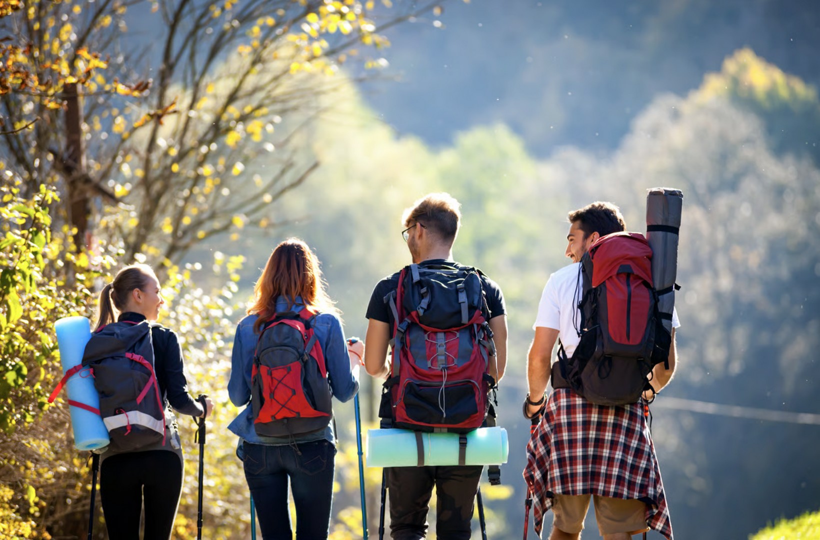
Via Francigena Mare: the path linking the Via Francigena to the Etruscan Coast
Hikes in Tuscany's Wildest Nature from the Monterufoli-Caselli Natural Park
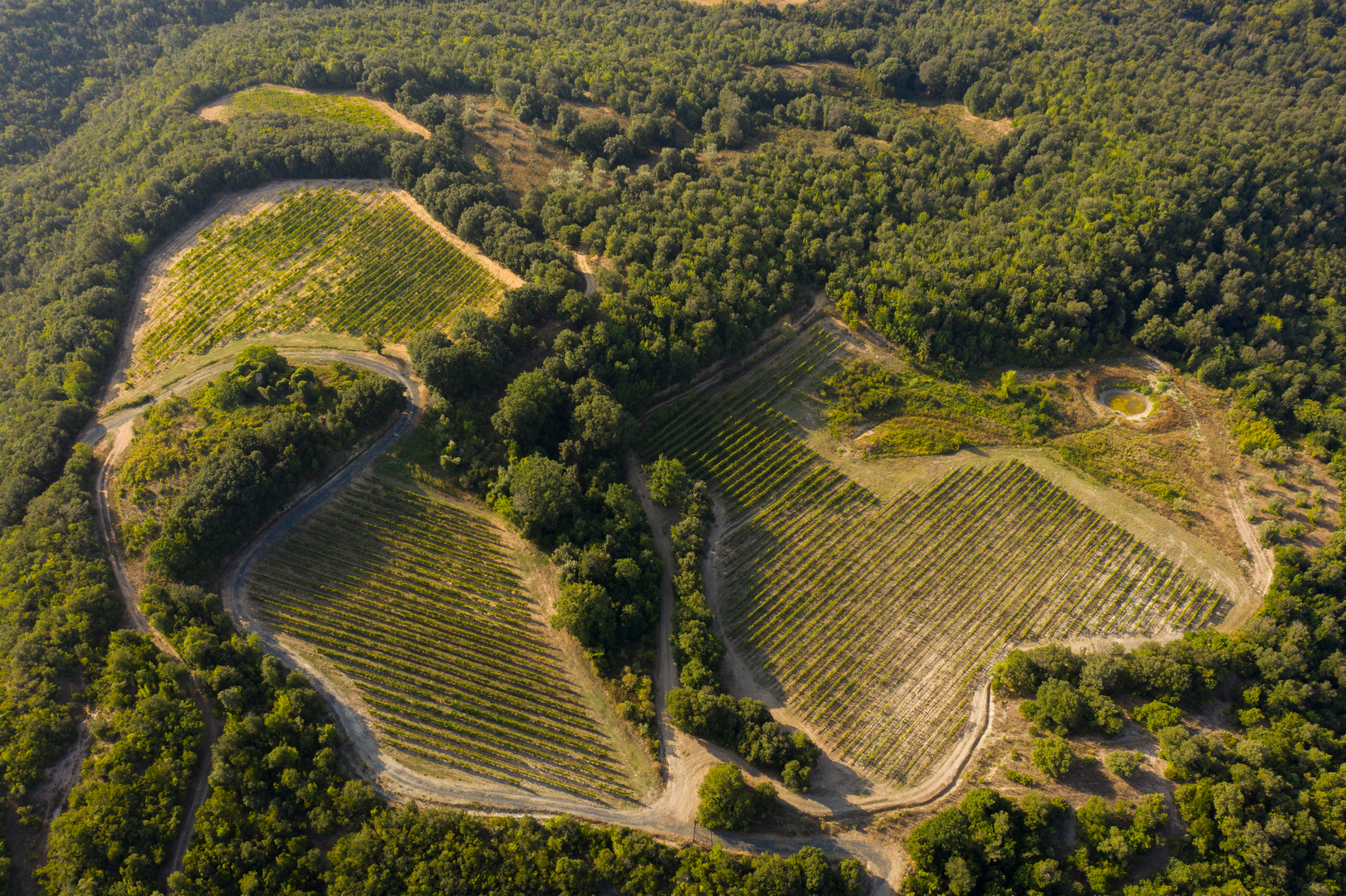
2. Sentiero Poggio Mattonelle: a hike with panoramic views over the Val di Sterza
3. Sentiero dei Ponti Fantasma: An Easy Trek Along the Old Mining Railway
Distance, elevation gain, and type: 9.01 km • loop • easy difficulty • elevation gain 158 m • on foot only
The Sentiero dei Ponti Fantasma e Poggio Miniera – also known as the “Trekking dei Ponti” – is probably the most scenic of the four recommended routes at Monterufoli: it follows the route of the old mining railway that, between 1872 and 1928, transported lignite to the Cecina-Volterra line. It’s the ideal itinerary for beginner-level hikes on the Tyrrhenian coast, and for those arriving along the Via Francigena Mare, it’s the perfect loop to fit into a rest day at the Tenuta.
From the farmhouse’s entrance road, a short detour leads to the remains of the first railway bridge over the Rivivo stream; you continue along the old track, passing the steccaia weir that once powered a mill. Then, one after another, the “ghost bridges” appear: four imposing stone arches spanning the Ritasso stream, abandoned for nearly a century in a landscape that has returned to the wild. After the fourth bridge, you reach the trench cut into the rock for the train’s passage; the return leg climbs back up along the Malentrata stream to the Sangiovese vineyards, with one last surprise 700 meters from the finish: a small waterfall on the Rivivo.
4. Sentiero delle Stallacce e Malentrata: A Loop Itinerary Through the Reserve
Distance, elevation gain, and type: 17.83 km • loop • medium difficulty • elevation gain 518 m • maximum altitude 495 m • on foot, by bike, by mountain bike, or on horseback
The Sentiero delle Stallacce e Malentrata – the “Mine-Stallacce-Malentrata” loop – is the longest route: almost 18 kilometers, over 500 meters of elevation gain, a full day of hiking. It’s the most complete itinerary for those seeking a true hiking loop in the hinterland of the Tuscan sea, and it matches the length of a stage of the Via Francigena Mare: for those trained to the walking pace, it’s the best way to get to know the reserve in depth without moving base.
The first stretch alternates between streams, woods, fields, and pastures, with a small waterfall and the remains of an old mill at the Mulino del Rivivo site. You continue toward the ruins of Gabbra, skirt the vineyards, and climb up to the Pian di Seta hill – the same one that gives its name to the Tenuta di Monterufoli’s Vermentino. Along the Malentrata stream, the tunnels of an old magnesite mine open up; at the Stallacce junction, the panoramic viewpoint next to the ruin, at about 340 meters of altitude, is worth a stop. The final climb leads to Malentrata, the highest point of the loop at 495 meters, from which you walk along the ridge before descending back toward the farmhouse.
Practical tips for organizing a trek on the Via Francigena Mare
Online Maps and Suggested Routes for Family Hikes
All four trails can be viewed on the Tenuta’s Wikiloc profile: downloading the track onto a hiking app is the wisest choice, so you always have an offline map available. And to explore other areas of the region, here you’ll find our recommendations on the most beautiful walking routes in Tuscany.
For beginner hikes, the best choice is the Sentiero dei Ponti Fantasma, classified as easy with limited elevation gain. For trekking with children, the shorter routes are best, avoiding the hottest hours and the days following heavy rain, when the stretches near the streams become slippery. On the other hand, being able to cross bridges, pass ruins and streams, and see grazing animals makes the experience interesting for younger children too, if accompanied with care.
Three out of four trails are also suitable for bikes, mountain bikes, e-bikes, and horseback riding. They also lend themselves well to trail running, thanks to moderate elevation changes, compact terrain, and almost no traffic. The tenuta’s gravel roads are ideal for cycle tourism, with the option of e-bike rental directly at the Tenuta: it’s no coincidence that the Tuscany Trail, one of Europe’s best-known bikepacking races, also passes through here.
What to pack and how to dress
What should you pack for a day of trekking in Tuscany? Water, a snack, the GPS track downloaded onto your smartphone, a power bank, a hat in the warmer months, and a light jacket in the shoulder seasons. Recommended clothing for hikes near the sea should account for the alternation between exposed areas and shaded stretches: you’ll need trekking shoes with good grip, lightweight breathable layered clothing, and sun protection. After rain, stretches along streams and riverbeds can be muddy: it’s best to avoid smooth soles.
Where to stay and eat: farmhouse and La Miniera Restaurant at Monterufoli
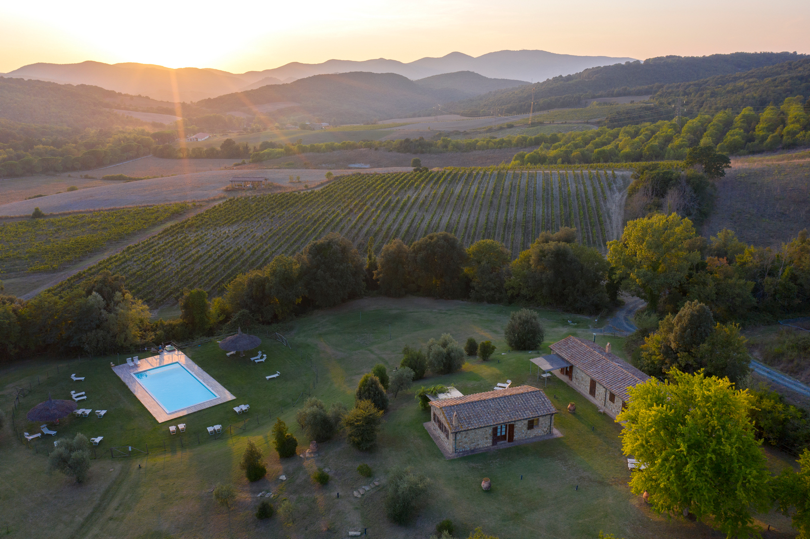
All four trails start from the Tenuta di Monterufoli: this makes it easy to plan a weekend stay here, with a short route on arrival day and a longer loop the next. The same goes for those already on the trail: the Tenuta is an official stopover and overnight point on the Via Francigena Mare, and the stage toward Bolgheri starts right from here.